Big Bench #405 – Vinci, on Via Montalbano

Edited by:
Massimo Martini
Updated at: 22/07/2026
Access
Road directions
Leave the Florence–Pisa–Livorno [FI-PI-LI] motorway at the Empoli Ovest junction and continue eastwards. At the roundabout, take the first exit onto Via I Maggio and continue for 520m (520m). Turn right onto the (Via Val d’Elsa) and follow it for 1.8km (2.32km). Continue along the Pisana provincial road to Fucecchio for 600 m (2.92 km). At the roundabout, take the first exit onto Strada Provinciale della Motta and continue for 2.3 km (5.22 km); at the next roundabout, turn left, staying on the Provinciale della Motta, which becomes the , and continue for 800m (6.02km). At the roundabout, take the second exit onto Via Provinciale di Mercatale, still on the , for 3.8 km (9.82 km). At the next roundabout, take the first exit onto Via dei Martiri, still on the , for 1.3 km (11.12 km). Turn slightly left onto Via Giovanni XXIII, still on the , for 650m (11.77km). Turn left onto Via Montalbano: your destination is on the right after 200m (11.97km).
Car park
Park 🅿️ on Via Montalbano.
Access by public transport
Accessible via Autolinee Toscane S.p.A. bus route 49 (Empoli–Vinci service). The nearest railway station is Empoli (Trenitalia, TI), connected to the centre of Vinci by bus and taxi.
Distance and journey time
🕒 Journey time: 16 minutes
📏 Distance: 12.0 km
GPS navigation
Important information
The directions provided were verified on the date the route was mapped. Before setting off, we recommend checking for any changes to the route or road conditions. For up-to-date information, please consult Google Maps or Apple Maps.
Introduction
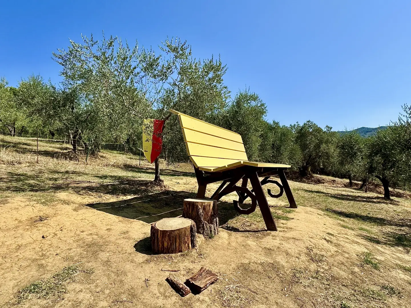
The Via di Caterina trail winds its way up the hill to the north-west of Vinci, through olive groves and vineyards, to the viewpoint where Big Bench no. 405 stands, an installation on the official circuit of the Big Bench Community Project. The trail is named after Caterina, Leonardo da Vinci’s mother, and follows the historic route she used to take between San Pantaleo and the village centre.
From the spot where the bench is situated, the view opens out over the Vinci countryside, with the olive groves and vineyards that characterise the Montalbano area. The gentle gradient and short length of the route mean it can be completed in a short time, with the surface alternating between an initial tarmac section and a dirt track.
Description
0h00' 0.00km From the car park (81m), take Via di Caterina, following the signposts for the path heading north-west. Follow the first section along a tarmac road, then continue along a dirt track through olive groves and vineyards until you reach the top of the hill where Big Bench no. 405 is located (93m) [0h15’T1] 0.79km .
The return journey follows the same route [0h12’T1] 0.79 km (19 m elevation gain) (31 m elevation loss).
Visitor information
Big Bench passport stamp point at Mundi Caffè, Piazza della Libertà, Vinci.
Comments (0)
Sign in to leave a comment